Exhibited Works
17th (2013)
Art division
Excellence Award
Dronestagram
Website
3331 Arts Chiyoda [ 1F Main Gallery ]
10/15 (Sat) ~ 11/6 (Sun)

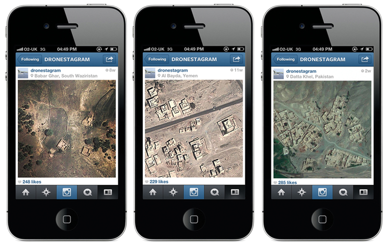
Dronestagram reveals otherwise unseen information concerning drone strikes through investigative journalism, digital mapping and social media. Using data concerning drone strikes sourced from investigative journalists, the Dronestagram project indicates the locations on maps, and posts images of the landscapes on various social media photo sharing services including Instagram, Tumblr and Twitter. This project reveals connections and dissonances between surveillance, violence, and warfare and network technologies.
© James Bridle
